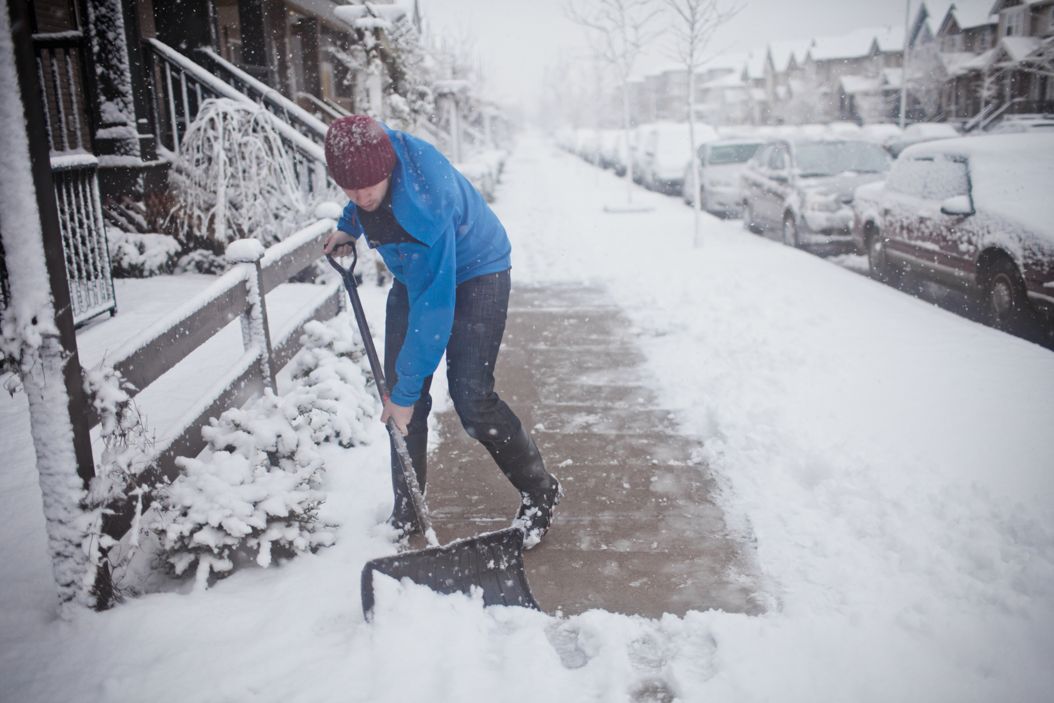
Most Northeasterners may have missed out on a white Christmas, but an icy winter storm this weekend may now bring snow to residents along the Mid-Atlantic and Northeast.
The storm is set to bring in the first significant snowfall along the Interstate 95 corridor in nearly two years and could become a nor’easter. Tens of millions of people are currently under winter storm watches, advisories, or warnings from Saturday afternoon through Sunday, according to the National Weather Service, though regions are expected to see significantly different levels of snowfall.
[time-brightcove not-tgx=”true”]
New York City, for instance, will likely only see about one to three inches of snow with the precipitation likely to turn into rain, but Accuweather meteorologist Tom Kines says Boston and Portland will see greater accumulation. Hartford, on the other hand, could get up to a half-foot of snow, Kines adds.
As of Friday afternoon, the storm has already moved through Texas and Louisiana, bringing rainfall before it picks up moisture near the Gulf of Mexico and Atlantic Ocean and traverses north.
Most areas will have improved weather by Sunday afternoon. Here’s what to expect across the northeast on Saturday.
Baltimore/D.C. area
Residents in the Baltimore/D.C. area are under a winter storm warning nearly all day Saturday. Residents in August and Nelson Counties as well as along the Central Virginia Blue Ridge will see anywhere from one to three inches of snow, as well as ice accumulations of about one quarter of an inch.
The National Weather Service (NWS) says there may be power outages and tree damage because of the icy conditions.
Portions of western Maryland and northwest, west, and eastern Virginia will see heavier mixed precipitation that will begin as snow before changing. “There’s going to be some sleet and freezing rain and it’s going to be primarily in the western parts of Virginia, like the Shenandoah Valley. Those places can have an extended period of freezing rain,” says Kines.
Similar weather conditions are expected in Washington, Frederick, and Carroll Counties in Maryland.
Philadelphia area
The NWS of Philadelphia is expecting low levels of snowfall, saying their latest forecast predicts just a 3% chance of seeing one inch of snow or more this weekend.
Other portions of central Pennsylvania, however, are under a winter storm warning from 7 a.m. to 10 p.m. local time on Saturday, and may see about four to eight inches of snow in total.
New York City area
New York City is currently experiencing a snow drought, with more than 700 days since Central Park recorded an inch of snow on one calendar day. Forecasters expect that to end over the course of the weekend. Current predictions show that residents in the New York City/New Jersey metro area are likely to see one inch of snow.
Further out of the metropolitan area, including portions of the Lower Hudson Valley, will likely experience six to eight inches of snow.
The NWS of New York City issued their first winter storm watch of the season—meaning forecasters have medium confidence that a storm could bring about heavy precipitation in the form of snow, sleet, or freezing rain—for the interior section of southern Connecticut, southeast New York, and northeast New Jersey.
Boston area
Boston will be one of the last places to experience precipitation, according to Kines. The peak of the storm will begin late Saturday, bringing about flash freeze conditions in eastern Massachusetts on Sunday. Six to 12 inches of snow are expected throughout much of Massachusetts, with wind gusts as high as 40 mph. The NWS also warned that the storm could cause power outages.

