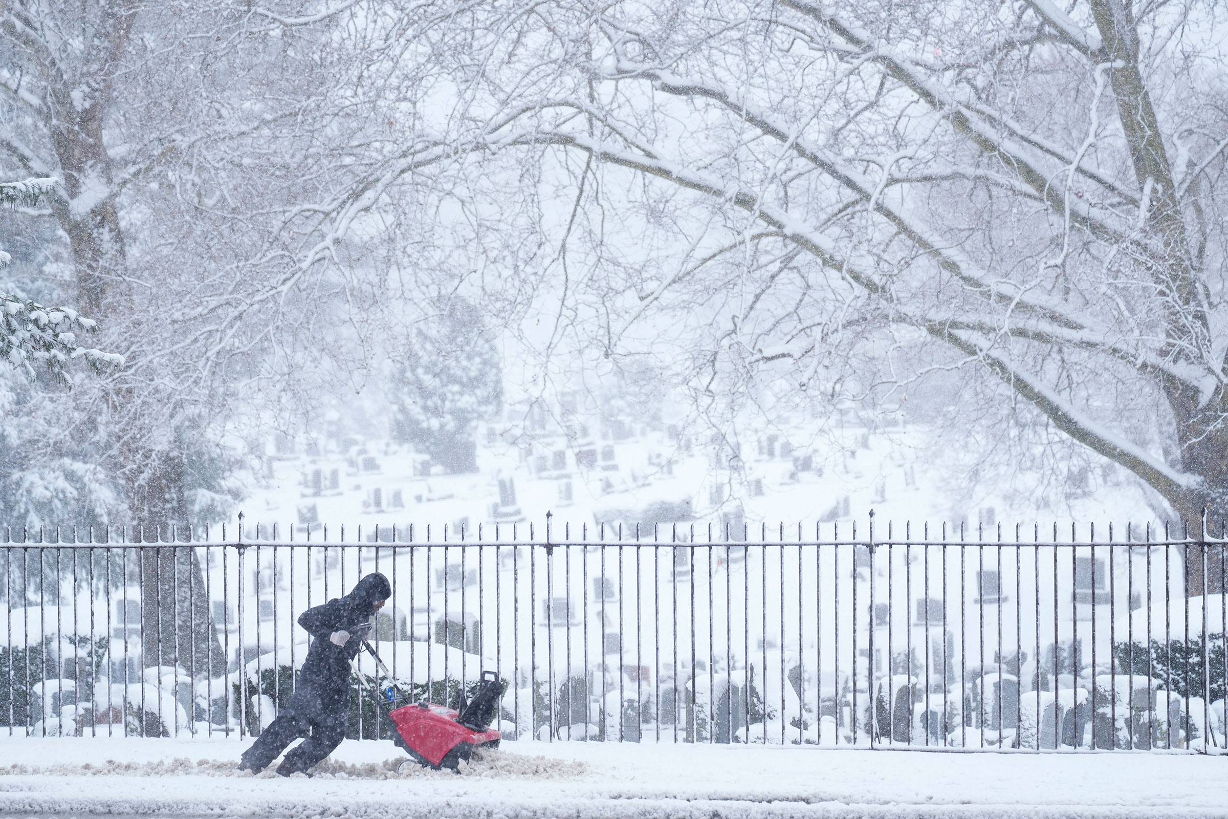
Beware of Blair. That’s the word from the Weather Channel, which, along with the National Weather Service, has issued a warning for the first named winter storm of 2025. The storm is set to arrive over the weekend and linger into Monday, clobbering the Plains, Midwest, and mid-Atlantic U.S. with snow, ice, and freezing temperatures—ensuring that the new year will land as a challenging one for up to 250 million people in 40 states.
[time-brightcove not-tgx=”true”]
Winter storm Blair is the result of what’s known as an Arctic Outbreak, which is itself a creature of the polar vortex. The polar vortex is a formation of westerly winds that collect over the Arctic in the winter, isolating the polar region from the surrounding atmosphere and causing temperatures within the vortex to plunge, but leaving surrounding temperatures unaffected. That’s only when the polar vortex remembers its place, however—which it’s not doing this weekend. Instead, a pair of high pressure areas are forcing the jet stream to plunge southward, bringing the icebox air of the polar vortex with them deep into the lower 48 states. At the same time, a so-called blocking high—a static area of high pressure—over Greenland is also forcing the jet stream, and more cold weather, southward.
The U.S. will feel the effects of all of this atmospheric activity dramatically. Throughout Saturday, snow is expected to hit the northern and central Rockies, along with the Plains, with precipitation likely extending as far south as the mid-Mississippi valley. The Weather Channel is warning Kansas City, St. Louis, and Wichita, Kansas, of hazardous driving conditions. Lake effect snow in states bordering the Great Lakes will add to the precipitation. On Sunday, the storm will stretch as far east as West Virginia and the Appalachian Mountains and south into Oklahoma. Cincinnati, Indianapolis, and Louisville will be added to the cities that will face hazardous driving. By Monday, Baltimore, Philadelphia, Pittsburgh, Charleston, S.C., and portions of West Virginia will get their turn to potentially be buried by snow. Accumulations across the affected areas are expected to reach between six and 12 inches.
Snowfall will taper and stop at the beginning of the week, but some models have the Arctic Outbreak lasting until the second half of the month, and that is when the majority of Americans should feel its effects. Even as early as Jan. 6., however, Texas and Oklahoma will see lows in the 20s and 30s; by midweek, Florida, Kentucky, Tennessee, and the Appalachians could see similar temperatures. Local lows next week are projected to reach 23°F in Dallas, 33°F in New Orleans, 21°F in Atlanta, 36°F in Orlando, and 46°F in Miami. The Weather Channel calls for lows in some parts of the Plains, the mid-Mississippi Valley and the Ohio Valley to touch 0°F.
According to Accuweather, the cold air from the far north will arrive in pulses, with repeated blasts keeping much of the country below average temperatures. The Midwest and mid-Atlantic states are projected to be from 12°F to 25°F below historical averages throughout at least portions of the next two weeks. All five Gulf coast states—Texas, Louisiana, Mississippi, Alabama, and Florida—may see snow and ice. A region extending 1,000 miles from western Nebraska to West Virginia could see up to three to six inches of snow, or “enough to shovel or plow,” says Accuweather. And the more snow that falls, the colder it will get, as the planet’s albedo—or reflectivity—increases, meaning that incoming sunlight bounces from the white ground back into space rather than being absorbed by darker surfaces and increasing warming.
None of this changes the state of the Earth’s overall climate. The planet is still running the meteorological fever known as climate change. But there is plenty of fluctuation within that larger condition. The first month of 2025 promises to be a reminder of winter’s more punishing extremes.

