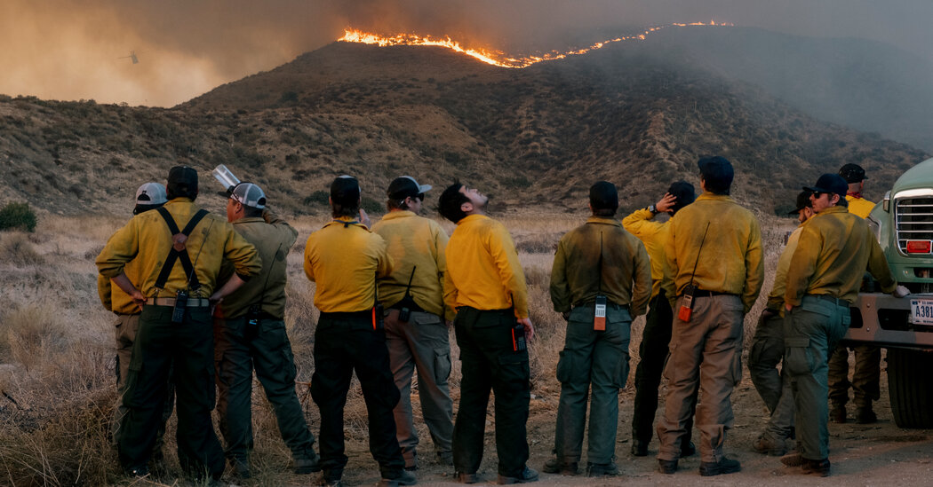
Rain and cooler temperatures will bring relief to Southern California this weekend, after a prolonged stretch of dry, breezy weather that allowed wildfires to thrive.
The parched landscape between Los Angeles and San Diego hasn’t seen any significant precipitation so far this winter, providing plenty of dry vegetation to fuel the fires. A storm system forecast to move across the region Saturday through Monday will change that.
But there’s also a slight chance that the rain could be on the heavier side — up to half an inch per hour, said Brian Hurley, a National Weather Service meteorologist. That could trigger flash floods and mudslides in places scarred by the Palisades, Eaton and Hughes fires, and in areas burned by smaller blazes over the past two weeks.
Winds remained fairly strong on Thursday, requiring yet another round of red-flag warnings. But the warm, dry pattern and Santa Ana winds will begin to shift on Friday, with a coastal sea breeze pushing moist cool air off the ocean. Light showers could fall as early as Saturday afternoon in Los Angeles and Ventura Counties, where fires are still burning.
The greatest chance for rain will come on Sunday, with light showers lingering into Monday. Parts of Los Angeles, including downtown, could receive as much as an inch of rain, said Brian Lewis, a Weather Service forecaster in Oxnard, Calif.
“We’re not expecting high rainfall rates unless a thunderstorm goes right over that area,” he said, adding that there was a 10 to 20 percent chance of isolated thunderstorms.
There’s also a chance for snow at elevations as low as 3,500 feet. The lower parts of the San Gabriel and San Bernardino Mountains could receive up to four inches of snow. Elevations above 5,000 feet could see six to 12 inches, with as much as two feet on the highest peaks.
Though the risk for mudslides is relatively low, officials were deploying crews across the region this week to clear debris and deploy sandbags. At a news conference, Mark Pestrella, Los Angeles County’s public works director, said that people living on or near scorched hillsides should be cautious, especially if their homes had not been inspected after the fires.
“Your best bet is not to be in that home when it rains,” he said.
Mudslides or debris flows — which Jason Kean, a research hydrologist with the U.S. Geological Survey, described as “a flood on steroids” — happen when burned soil becomes compact like concrete, funneling water down slopes that have lost any vegetation to keep it in check. That rushing water can claw up the landscape, unleashing a torrent of trees, rocks, brush and anything else in the way.
Residents can use burn maps created by the U.S.G.S. to determine if their home is at risk. The Eaton fire near Pasadena could be the most prone to mudslides. Peak rainfall — defined as more than 1.5 inches per hour, falling within a 15-minute interval — would be nearly certain to trigger a debris flow, the maps show.
The San Diego area will see the effects of the storm about 12 hours after Los Angeles, as the chance for rain, and chillier air, moves south on Sunday and Monday.
While the projected precipitation totals for the region went up slightly on Thursday, Mr. Hurley with the Weather Service said California residents didn’t need to worry about a major deluge. “It’s a drier storm, versus what an atmospheric river would give,” he said.
Checkout latest world news below links :
World News || Latest News || U.S. News
The post It Will Finally Rain in Southern California. Cue the Risk of Mudslides. appeared first on WorldNewsEra.

