The UK has had a grey start to November, with “atmospheric gloom”, meaning many areas have not seen more than an hour or so of sunshine in the first week of the month.
One village, Odiham in Hampshire, recorded no sunshine until November 8.
The windless, rainless and sunless murk that has covered much of Britain in recent days is set to shift however – with the Met Office predicting brighter skies next week.
However, the weather could become more unpredictable towards the end of the month, with the possibility of snow in some areas.
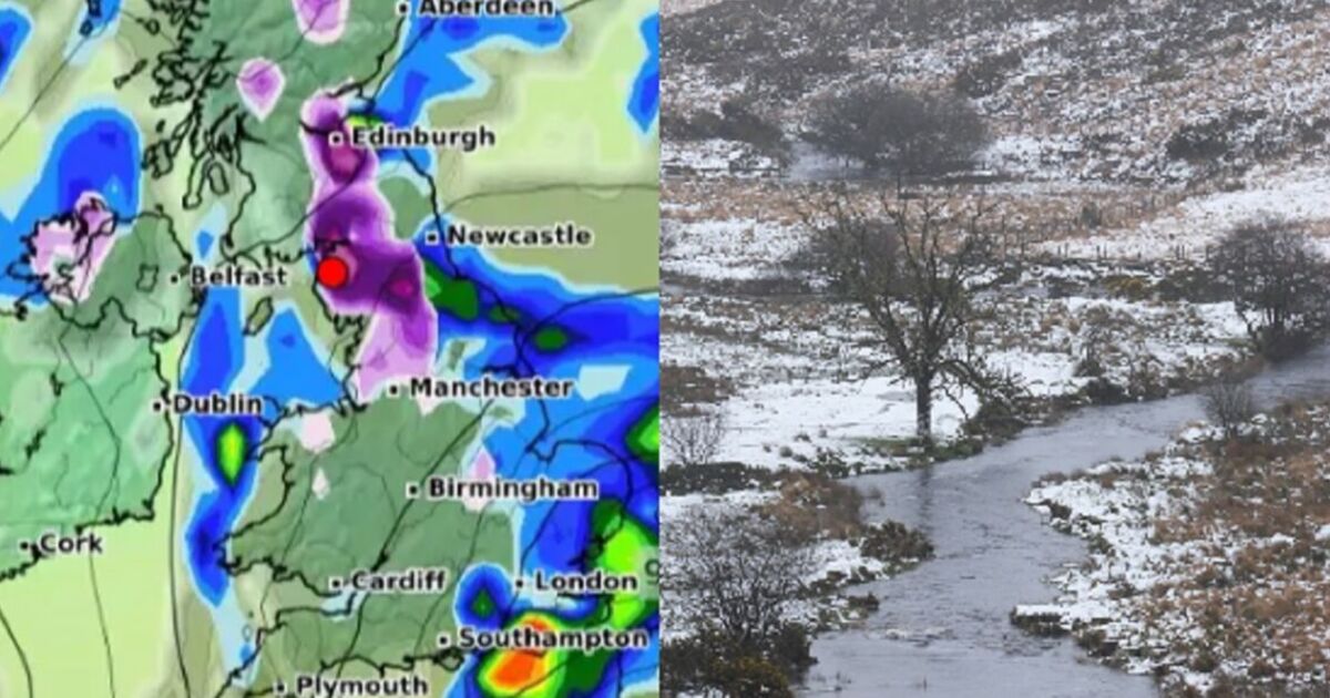
One map produced by forecaster WX Charts shows a huge band of potential precipitation stretching hundreds of miles from England, across the Netherlands and into Germany on Thursday, November 21.
WX Charts also forecasts temperatures are set to plummet in the coming weeks.
Other forecasts vary, with the Met Office predicting a “very low” chance of snowfall causing disruption.
The Met Office long-range weather forecast for the period between Friday November 15 and Sunday November 24 predicts the weather will become more unsettled going into next weekend.
It states: “The heaviest and most frequent spells of rain are most likely in the north and west.
“Drier and brighter spells of weather remain possible, particularly in southern regions.
“Some wintry precipitation is possible in places, with snow most likely to fall over high ground in the north.
“The chance of any widespread or disruptive snowfall is very low.
“Often windy, with a chance of gales at times, especially in the north and east.
“Temperatures probably near or below average with overnight patchy frost and ice.”
Checkout latest world news below links :
World News || Latest News || U.S. News
The post UK latest snow maps show giant 500-mile storm stretching from England to Europe appeared first on WorldNewsEra.

